AI and Satellite Imagery to Map Ocean Activities: Navigating Waves of Data!

By Roze 4 Min Read

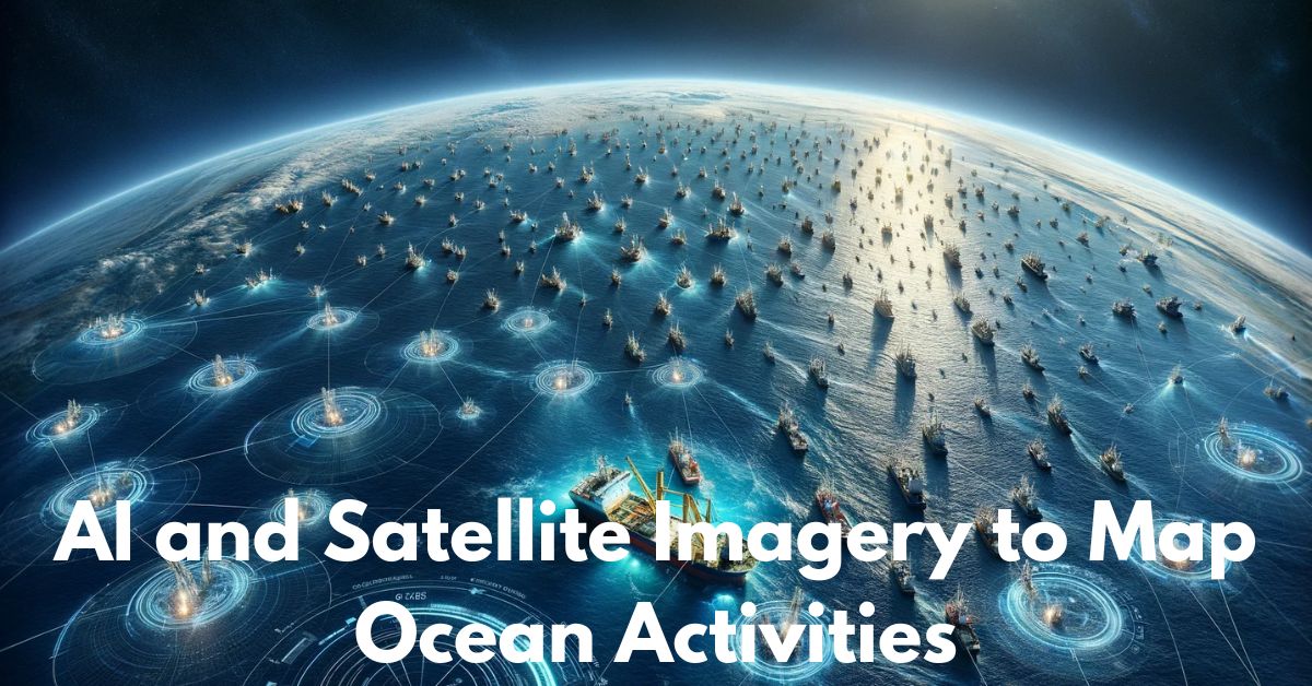
AI and Satellite Imagery to Map Ocean Activities: The vast expanse of the world’s oceans has long been a realm of mystery and intrigue. Mapping and understanding ocean activities, however, have proven to be challenging due to the sheer scale and dynamic nature of marine environments.

Enter the transformative power of Artificial Intelligence (AI) combined with satellite imagery, a dynamic duo that is revolutionizing the way we monitor and map ocean activities. In this article, we explore the synergy between AI and satellite technology and the groundbreaking impact it has on oceanography.
I. The Power of Satellite Imagery in Ocean Observation:

A. Unprecedented Coverage:

  • Satellites provide a bird’s-eye view of vast oceanic expanses, enabling coverage of remote and inaccessible areas.
  • High-resolution satellite imagery captures intricate details of the ocean surface, from ship movements to environmental changes.

B. Real-time Monitoring:

  • Satellite technology facilitates real-time observation, offering a dynamic and up-to-date perspective on ocean activities.
  • Continuous monitoring enhances our ability to respond to emergencies, track illegal activities, and understand the impact of natural phenomena.

II. AI’s Role in Analyzing Ocean Activities:

A. Automated Data Analysis:

  • AI algorithms process immense volumes of satellite data with speed and precision.
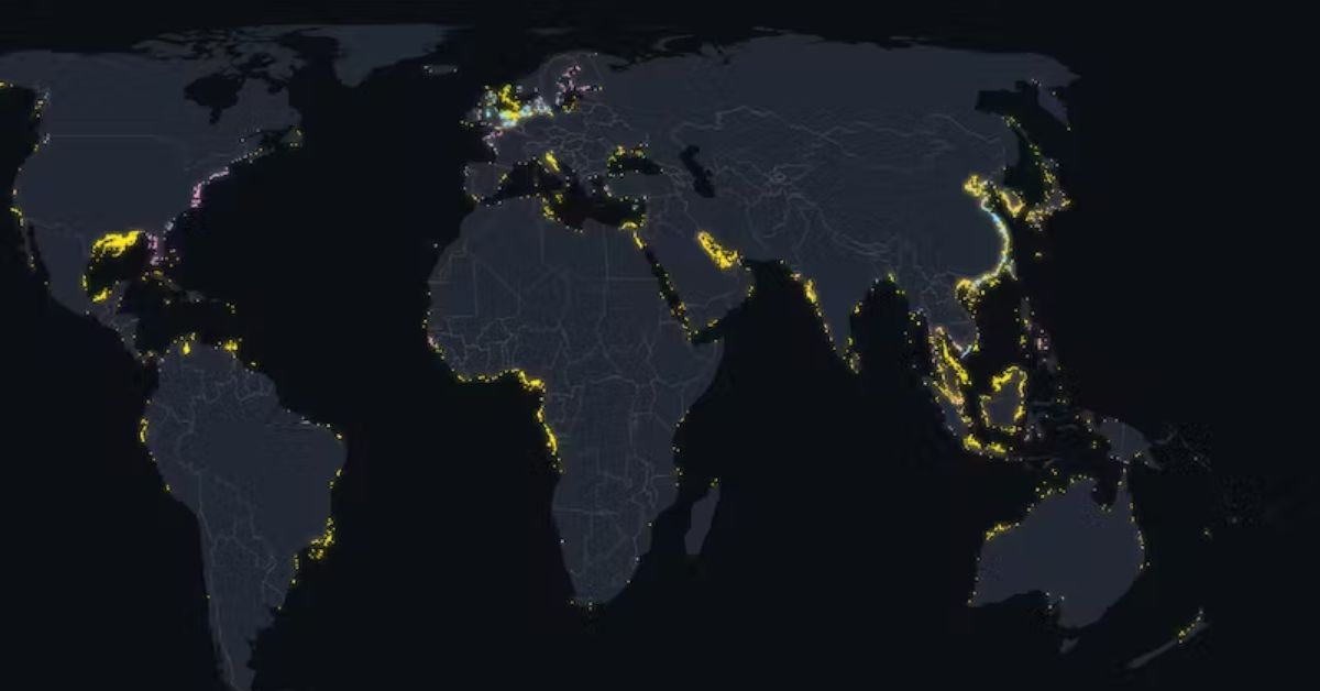
  • Automated analysis identifies and categorizes various ocean activities, including shipping routes, fishing vessels, and environmental changes.

B. Pattern Recognition:

  • Machine learning algorithms excel at recognizing patterns and anomalies within vast datasets.
  • AI can identify irregularities such as illegal fishing, pollution events, or even unusual marine wildlife behavior.

III. Applications of AI and Satellite Imagery in Ocean Mapping:

A. Maritime Security:

  • AI-driven analysis aids in monitoring and securing maritime borders, detecting potential security threats, and tracking suspicious vessel activities.

B. Fisheries Management:

  • The combination of AI and satellite imagery helps monitor and manage global fisheries by tracking fishing vessel movements, identifying overfishing, and promoting sustainable practices.

C. Environmental Conservation:

  • AI algorithms can detect and analyze changes in ocean temperature, currents, and pollution levels, contributing to efforts in marine conservation and climate research.

IV. Challenges and Future Prospects:

A. Data Privacy and Ethics:

  • The increased use of AI and satellite imagery raises concerns about data privacy and the ethical use of information, particularly when monitoring vessels or activities near coastal regions.

B. Technological Advancements:

  • Ongoing advancements in AI and satellite technology are expected to further enhance the accuracy and efficiency of ocean mapping.

Conclusion

AI and satellite imagery have ushered in a new era in oceanography, empowering researchers, conservationists, and policymakers with unprecedented insights into the world’s oceans. The synergy between these technologies holds the key to sustainable management of marine resources, environmental protection, and enhanced maritime security. As we navigate the uncharted waters of the future, the marriage of AI and satellite imagery promises to be a formidable force in unraveling the mysteries and complexities of our oceans.

If you obtained pleasure from this technology article, you may potentially find the subsequent content equally enjoyable:

Share this Article
Leave a comment